VAVA'U

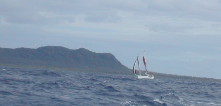
SV Gaia in sloppy seas just outside Niuatoputapu
Our first passage sailing within Tonga was from the Niuas to the Vava’u group. This is 163 nautical miles, and we usually plan on averaging about 5 knots per hour, so we estimated this passage would take us approximately 33 hours. We left Niuatoputapu at 7:15 am (local time) on Thursday, October 6, 2005. If it took us 33 hours, we would not arrive at Vava’u until 4:15 pm on Friday, and that would be too late to get checked in before the officials left for the weekend. We were pushing it a bit to try to arrive earlier.
Our friends Jim and Helen on SV Gaia were also heading from the Niuas to Vava’u, and they left about 30 minutes ahead of us. We had not sailed with them before, so we did not know if they would sail slower, at a similar pace, or faster than us. We decided that our priority was to arrive in time to check in regardless of how slow or fast Gaia sailed. We would see them at the other end.
When we left Niuatoputapu, the wind and a sloppy swell was on our nose, so we motorsailed. We passed Gaia within about an hour’s time, and we did not see her again on this passage. Fortunately, the seas calmed considerably about twenty miles out from Niuatoputapu, and we had fine conditions from there on. However, because we were pressed for time, we continued to motorsail when we might have otherwise sailed, but we maintained our speed between 5.4 and 6.3 knots.
We turned the engine off a few times, but when our speed dropped below 5 knots, we again motorsailed. When we were about 15 miles off Vava’u, one of our fuel tanks ran dry. While Bud was below bleeding injectors, Nita unfurled the jib, and we sailed the rest of the way in at 6 knots.
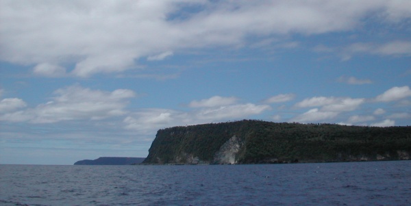
Vava’u was spectacular to see as we sailed in. There are small islands all around, and many of their shorelines are dotted with caves. Many of the islands have abrupt steep shorelines and are very dramatic. There appears much to explore here.

Spectacular terrain coming in to Vava’u
We dropped our anchor in 30′ of sand in Neiafu harbor at 2:00 pm local time. That gave us time to inflate the dinghy, get ashore, and get cleared in before everyone left for the weekend.
There is both good news and bad news about the fish feeder/slayer. He did not feed the fish on this passage nor did he slay any of them. It is good that he is not feeding the fish, but it will likely take time for him to re-establish himself as the formidable force he previously believed himself to be. Stay tuned.
Vava’u is comprised of 60 islands spread out over approximately 270 square miles of ocean. The islands are scattered between 173º56′-174º11’W and 18º34′-18º52’S. These coordinates include a few outer islands, and the majority of the islands lie within a much smaller area. Some islands are steep and rugged with fjord-like waterways winding around them. Others are low with beautiful sandy beaches. All are no more than a few miles apart and easily accessible.
All travel in to and out of Vava’u begins and ends in Neiafu. Neiafu is Vava’u’s international port of entry. Neiafu is also the capital of Vava’u. Neiafu sits on Neiafu Harbor.
Neiafu Harbor is a very secure harbor that is protected from wind and waves on all sides. Neiafu Harbor is so secure that many boats choose to remain there through hurricane season. This is a calculated risk, but it reflects the security that Neiafu Harbor provides. The security of Neiafu Harbor is relevant to a small piece of Vava’u’s history – particularly why Captain Cook never visited Vava’u.

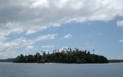
Fonua Lai – a typical little island in Vava’u
In 1777, Captain Cook was in the Ha’apai group of Tonga. He had discovered and charted many of those islands, and he had become friends with Finau – the then-chief of Vava’u and Ha’apai. Finau told Cook that he was going to Vava’u to collect feathers from the tails of frigate birds, and Cook wanted to take one of his ships and go along. Cook’s journal indicates that Finau discouraged him from going along by stating that “there was neither harbor nor anchorage”. Not only is Neiafu Harbor a very secure harbor, but the outer islands are surrounded by placid anchorages!
Why Finau lied to Cook is still a point of speculation. The most common reason heard is that Finau wanted to prevent Vava’u from being “discovered” as long as possible. Whatever his reason, his lie was quite a whopper.
But Vava’u was discovered by another European only four years later. Spain’s Francisco Maurelle made landfall in the Vava’u group in 1781. His ship was leaking, his men were suffering from scurvy, cockroaches had eaten much of the ship’s biscuits, and their limited water supply was fouled. He traded with the local population and obtained fresh water from a local spring. He might have stayed longer, but his ship was being vandalized for its iron, so he left Vava’u quickly.
Then Vava’u received the same influx of Christian missionaries as the rest of Tonga, and its history since then parallels the rest of Tonga. The influence of the Wesleyan church continues to dominate the lives of Tongans in Vava’u.
We arrived Vava’u with thoughts of sailing and diving. Although we treasure the friendships we made in the Niuas, we didn’t expect to have that opportunity in Vava’u. Vava’u gets so many visitors that it is difficult to become more than ‘just another tourist’ to the residents. So we have focused on enjoying the environment – the sailing and diving – while having limited interactions with the local populations.
Like all visitors to Vava’u, we started in Neiafu. We spent four nights there, but we wanted to move out of town and on to a less busy anchorage.
We didn’t go far – just to Kapa Island. We went to Fangakima, which is usually called by its English name of Port Maurelle. We had heard that Swallows Cave on Fangakima was worth visiting, and it certainly was. It was a nice anchorage, but we wanted to see more, so we moved on after only one night.
Looking to get yet a little further off the beaten track, we decided to go to Lape which is in the bight of Nuapapu Island. The anchorage at Lape has room for one boat, and that sounded appealing to us. Fortunately it was open when we got there, so we dropped our hook and went exploring. We were in search of a dive sight, but we didn’t find anything nearby that appealed to us. The beautiful turquoise anchorages of Tonga are caused by large areas of white sand under the surface, and white sand does not usually make much of a dive site. So it’s a trade-off. We enjoyed the secluded beauty of our anchorage and settled in for a very quiet night.
In the morning we got a radio call from Don and Gwen on Tackless II. They were ready to move on from where they had been anchored, and they invited us to meet them for a dive. So they headed south and we headed east for a few miles to meet at ‘Euakafa. Before diving, we went for a great hike up to the top of the island (which is where we took the panorama of pictures at the top of this page). We also visited the tomb of a princess which is surrounded by legend and lore. Then we went for a very nice dive. But we had to get moving to get to our intended anchorage before dark (this is definitely not a place for traveling after dark!). We headed a few miles back to Vaka’eitu.