SAILING IN THE CARIBBEAN
Eastern Caribbean course through April, 2013
The area referred to as the Caribbean is named for the sea – the Caribbean Sea – that is mostly enclosed by land. The Caribbean Sea is the second largest on the planet – smaller than only the South China Sea. It is both larger and deeper than the Mediterranean. The surface area of the Caribbean Sea is more than eight times the land area of its islands.
There is continental land to the west and south of the sea, and islands are to the north and east. The islands demarcate the boundary of the sea rather than sit in it.
The continental boundaries of the sea include Central and South American countries. The Central American countries include Mexico, Belize, Guatemala, Honduras, Nicaragua, Costa Rica, and Panama. The South American countries include Colombia and Venezuela.
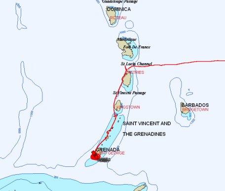
The islands are usually considered in three groups – the Greater Antilles, the Lesser Antilles, and the Bahamas. The Greater Antilles include the large islands of Cuba, Hispaniola (Haiti and Dominican Republic), Puerto Rico, Jamaica, and the smaller Cayman Islands. The Lesser Antilles include the arc of islands reaching from the Virgin Islands in the north to Trinidad in the south and islands off the north coast of South America. The Lesser Antilles are often further grouped as the Leeward Islands, Windward Islands, and Dutch Caribbean. The Leeward Islands are at the north and west of the chain running from the Virgin Islands to Guadeloupe. The Windward Islands are at the south and east of the chain running from Dominica to Trinidad. The Dutch Caribbean are the islands off the north coast of Venezuela. The Bahamas are east of Cuba and north of Hispaniola.
Many of the islands are close enough that we traveled between them in day sails, and we had to make only a few passages. Links to those passages follow.
Sail with us from Grenada to ABC Islands or from ABC Islands to Panama or jump ahead to our Caribbean destination page.